Maps and Photos of Okinotorishima (Okinotori Islands), most southern islands in Japan (2011-10-10)
Okinotorishima is most south islands in Japan.
Is Okinotorishima islands or rocks?
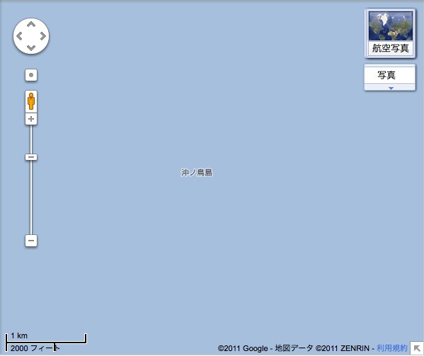
Google Maps don't have maps of Okinotorishima.
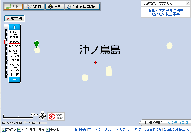
Mapion have maps of Okinotorishima.
A image (Okinotorishima2.png) is wrong in a page of Wikipedia.
I draw right image.
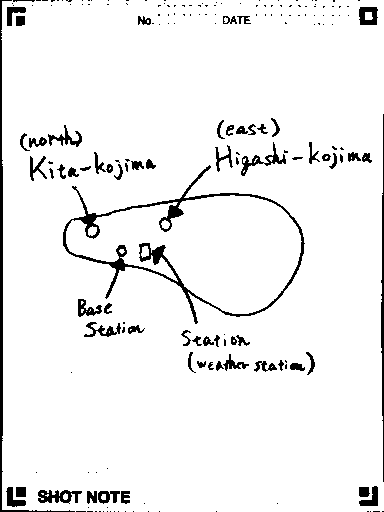
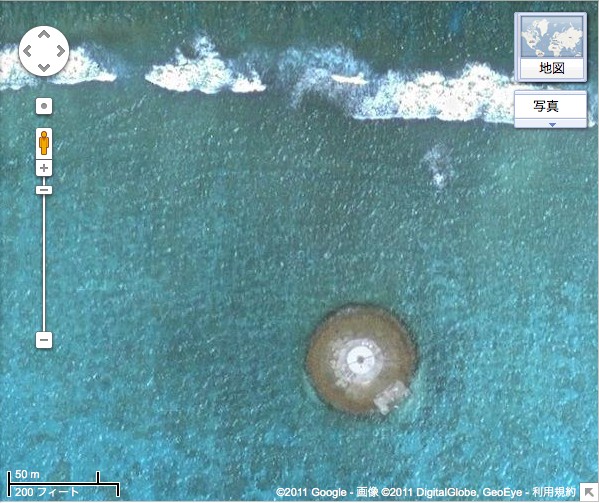
Higashi-kojima (eastern islet) is eastest in Okinotorishima.
Kita-kojima (northern islet) is westest in Okinotorishima. This island is westest, but this name is Kita-kojima (northern islet).
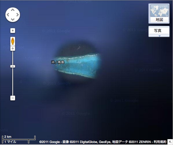
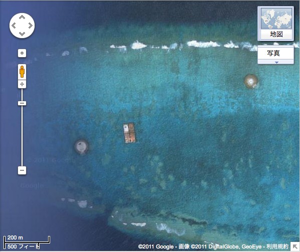
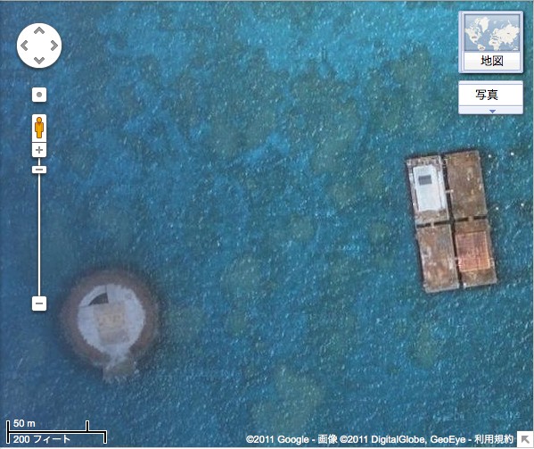
Base Station (left) and Stasion (right)
Higashi-kojima (eastern islet)
3D objects on Google Earth:
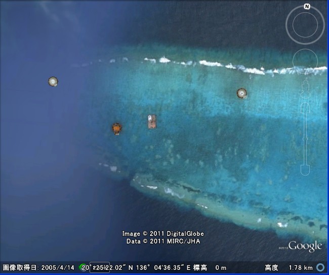
Okinotorishima Kita-kojima by kazu. - Google 3D Warehouse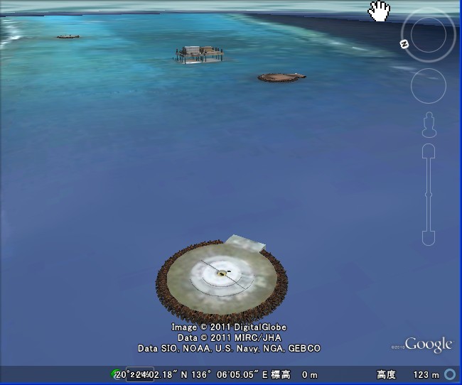
Okinotorishima Base Station by kazu. - Google 3D Warehouse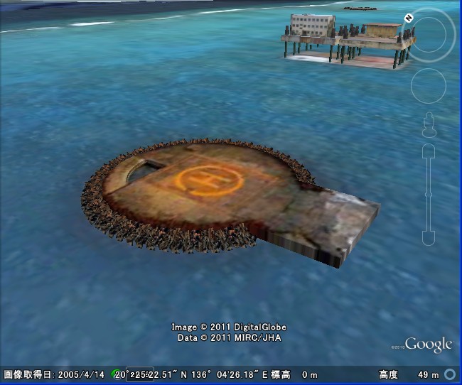
Okinotorishima Station by kazu. - Google 3D Warehouse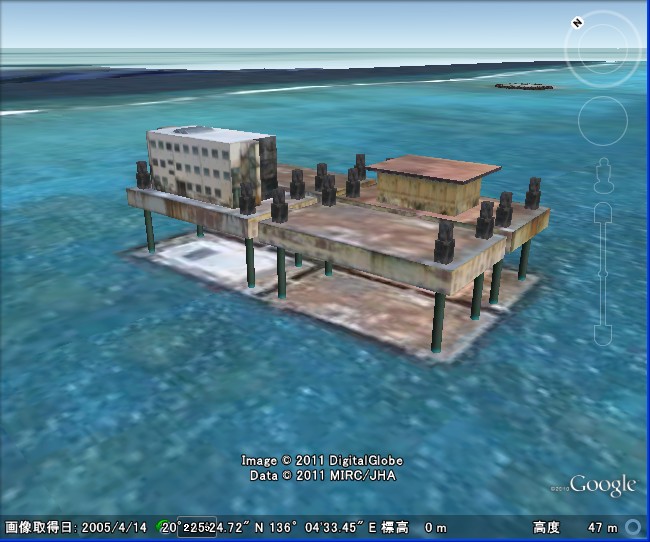
Okinotorishima Higashi-kojima by kazu. - Google 3D Warehouse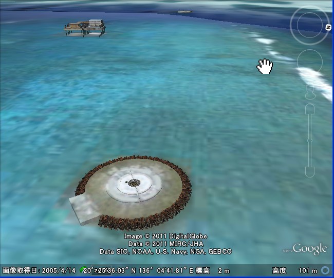
Okinotorishima have '04998' Japanese telephone area code.
But Okinotorishima don't have phones...
Okinotorishima's zip code is '100-2100'
Letters probably cannot reach.
lat: 20.425278, lon: 136.069722
View Larger Map
Posted by NI-Lab. (@nilab)
